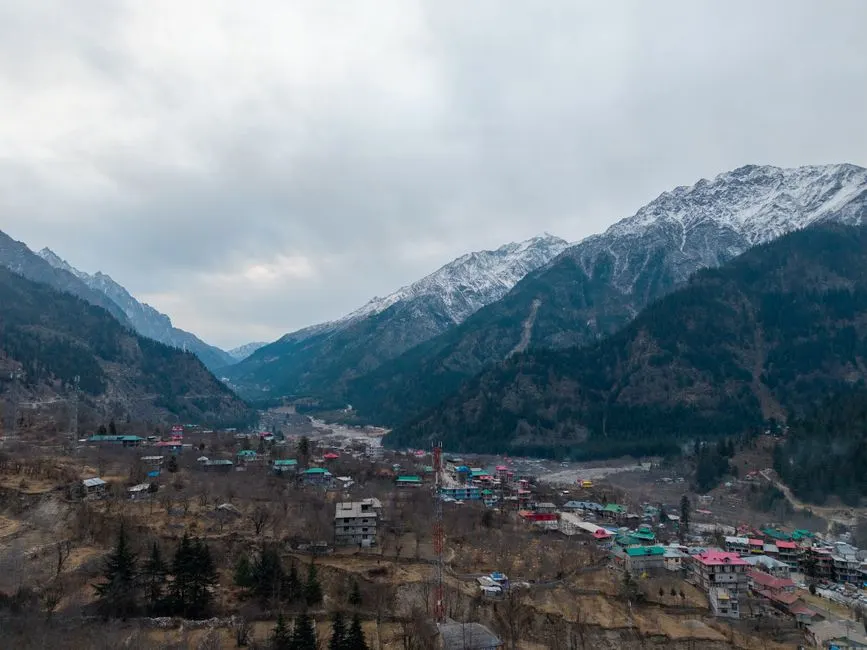
Bageshwar
Altitude: 1,004m
Altitude
1,004m
Best Time
March to June, September to November
Nearest Airport
Pantnagar Airport (180 km)
Nearest Railway
Kathgodam Railway Station (150 km)
About Bageshwar
Bageshwar (Kumaoni: Bāgshyār) is a town and a municipal board in Bageshwar district in the state of Uttarakhand, India. It is located at a distance of 470 km from the National Capital New Delhi and 332 km from the State Capital Dehradun. Bageshwar is known for its scenic environment, glaciers, rivers and temples. It is also the administrative headquarters of Bageshwar district.
Situated on the confluence of Saryu and Gomati rivers, Bageshwar is surrounded by the mountains of Bhileshwar and Nileshwar to its east and west, the Suraj Kund in the north, and Agni Kund in the south. Bageshwar was a major trade mart between Tibet and Kumaun, and was frequented by the Bhotia traders, who bartered Tibetan wares, wool, salt and Borax in exchange for carpets and other local produces in Bageshwar. The trade routes were, however, closed after the Indo-China War of 1962.
The city is of great religious, historic and political significance.
No places added yet for this city.
Places will appear here once added.
No temples added yet for this city.
Hotels in Bageshwar
Find the best places to stay