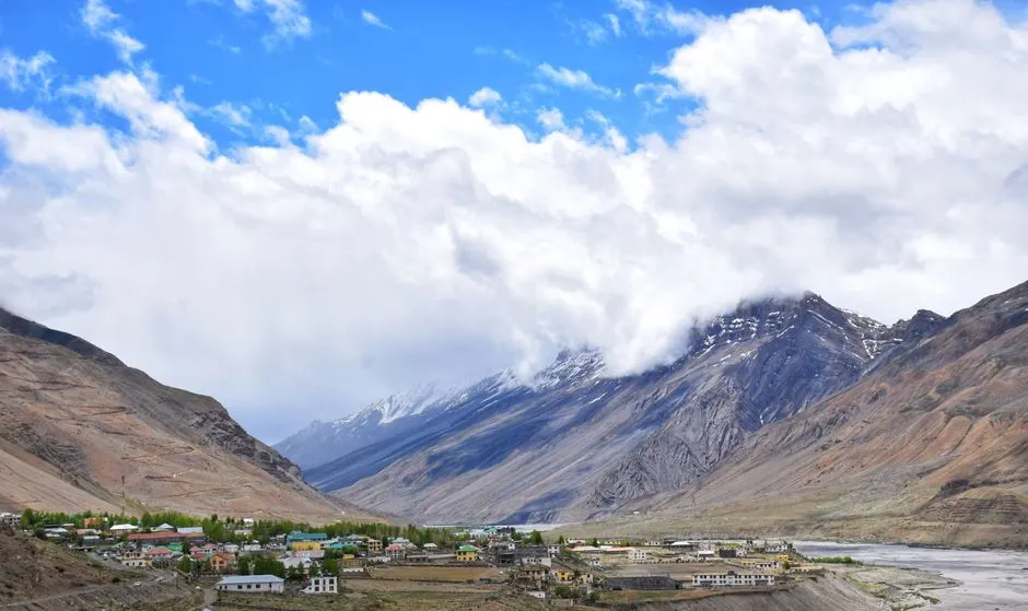
Betalghat
Altitude: 1,250m
Altitude
1,250m
Best Time
March to June, September to November
Nearest Airport
Pantnagar Airport (90 km)
Nearest Railway
Kathgodam Railway Station (55 km)
About Betalghat
Betalghat (Hindi: बेतालघाट) is a small town and tehsil in Nainital district, Uttarakhand, India. As of 2011, it had a total population of 21,265 spread over 4,357 households.
Most people in the village speak Kumaoni and Hindi.
There is a riverside area in Betalghat along the Kosi River, a post office, and a marketplace. The nearest railway stations are in Ramnagar (65 km) and Kathgodam (87 km).
No places added yet for this city.
Places will appear here once added.
No treks added yet for this city.
No temples added yet for this city.