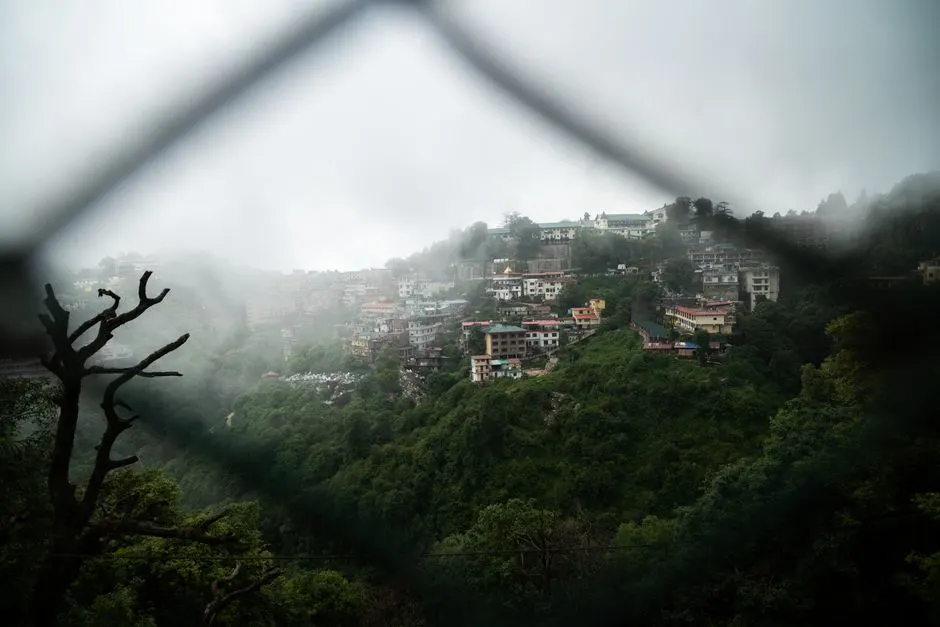
Dehradun District
Chakrata
Altitude: 2,118m
Altitude
2,118m
Best Time
April to June, September to November
Nearest Airport
Jolly Grant Airport (98 km)
Nearest Railway
Dehradun Railway Station (88 km)
About
About Chakrata
Chakrata is a cantonment town and also a sub district/tehsil, in Dehradun district in the state of Uttarakhand, India.
It lies between the Tons and Yamuna rivers, at an elevation of 2118 m, 98 km from the state capital, Dehradun. Chakrata was originally a cantonment of the British Indian Army. To the west lies Shillai, Himachal Pradesh, and to the east are Mussoorie (73 km) and Tehri Garhwal.
No treks added yet for this city.
No temples added yet for this city.
Stay
Hotels in Chakrata
Find the best places to stay