Gaurikund
Altitude: 1,982m
Altitude
1,982m
Best Time
May to June, September to October
Nearest Airport
Jolly Grant Airport (220 km)
Nearest Railway
Rishikesh Railway Station (205 km)
About Gaurikund
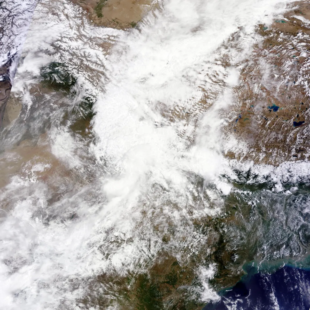
In June 2013, a mid-day cloudburst centered on the North Indian state of Uttarakhand caused devastating floods and landslides, becoming the country's worst natural disaster since the 2004 tsunami. The rainfall received that month was far greater than the rainfall the state usually received. Debris blocked the rivers, causing major overflow. The main day of the flood was 16 June 2013.
Some parts of Himachal Pradesh, Haryana, Delhi and Uttar Pradesh in India experienced the heavy rainfall, as well as regions of Western Nepal and some parts of Western Tibet. Over 89% of the casualties occurred in Uttarakhand. As of 16 July 2013, according to figures provided by the Government of Uttarakhand, more than 5,700 people were "presumed dead." This total included 934 local residents. The death toll was later placed at 6,054.
No places added yet for this city.
Places will appear here once added.
No treks added yet for this city.
No temples added yet for this city.