Chamoli District
Karnaprayag
Altitude: 754m
Altitude
754m
Best Time
March to June, September to November
Nearest Airport
Jolly Grant Airport (189 km)
Nearest Railway
Rishikesh Railway Station (175 km)
About
About Karnaprayag
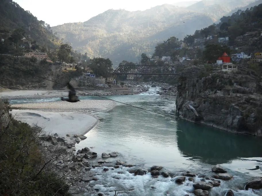
Karnaprayag is a town and municipal board in the Chamoli District in the Indian state of Uttarakhand. Karnaprayag is one of the Panch Prayag (five confluences) of Alaknanda River, situated at the confluence of the Alaknanda and Pindar River.
No places added yet for this city.
Places will appear here once added.
No treks added yet for this city.