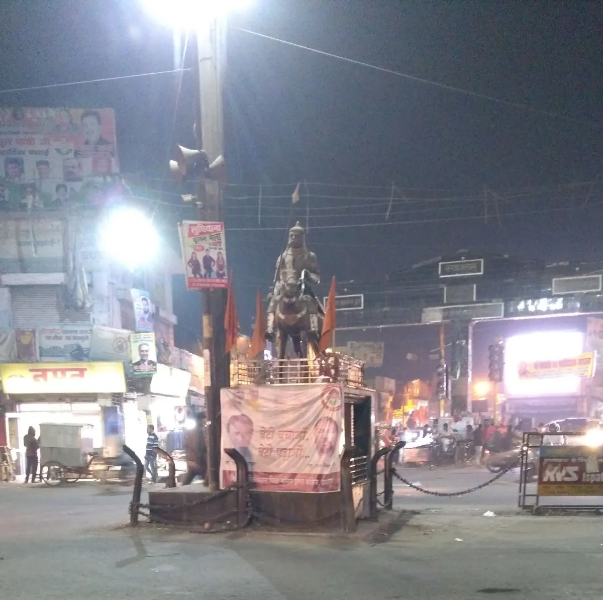
Kashipur
Altitude: 218m
Altitude
218m
Best Time
October to March
Nearest Airport
Pantnagar Airport (50 km)
Nearest Railway
Kashipur Railway Station
About Kashipur
Kashipur (Hindi: Kāshīpur [kaːʃiːpʊr]) is a city of Udham Singh Nagar district in the Indian state of Uttarakhand, and one of its seven subdivisions. Located in the western part of Udham Singh Nagar district, it is Kumaun's third most populous city and the sixth most populous in Uttarakhand. Its ancient name was "Govisana". According to the 2011 Census of India, the population is 121,623 for the city of Kashipur and 283,136 for Kashipur Tehsil. Kashipur also has IIM Kashipur, one of the thirteen Indian Institutes of Managements the government has set up during the Eleventh Five-year Plan.
Historically part of Kumaun, Kashipur is named after Kashinath Adhikari, the founder of the township and governor of the pargana, one of the officers of the Chand Kings of Kumaun in the 16th and 17th centuries. Kashipur remained under the rule of Chand Kings until the latter half of eighteenth century until Nand Ram, the then governor of Kashipur, became practically independent.
Kashipur was ceded to British in 1801, after which, it played a major role in the conquest of Kumaon during the Anglo-Gorkha war in 1815.
No places added yet for this city.
Places will appear here once added.
No treks added yet for this city.
No temples added yet for this city.