Kedarnath
Altitude: 3,583m
Altitude
3,583m
Best Time
May to June, September to October
Nearest Airport
Jolly Grant Airport (238 km)
Nearest Railway
Rishikesh Railway Station (221 km)
About Kedarnath
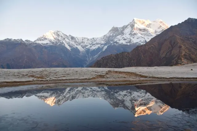
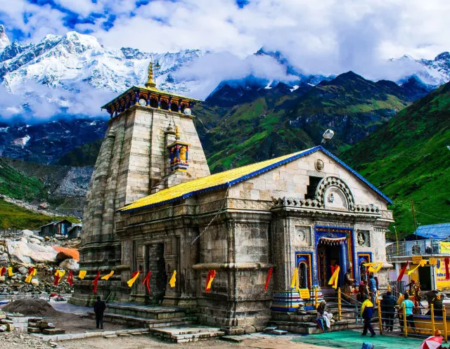
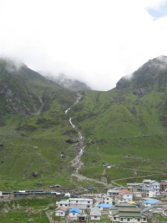
Kedarnath is a town and Nagar Panchayat in the Rudraprayag district of Uttarakhand, India, known primarily for the Kedarnath Temple. It is approximately 86.5 kilometres from Rudraprayag, the district headquarters. Kedarnath is the most remote of the four Chota Char Dham pilgrimage sites. It is located in the Himalayas, about 3,583 m (11,755 ft) above sea level near the Chorabari Glacier, which is the source of the Mandakini River. The town is flanked by snow-capped peaks, most prominently the Kedarnath Mountain. The nearest roadhead is at Gaurikund about 16 km away. The town suffered extensive destruction during the June 2013 from the flash floods caused by torrential rains in Uttarakhand.
No places added yet for this city.
Places will appear here once added.