Kumaon Division
Champawat
Headquarters: Champawat
6
Cities
1
Places
1
Treks
3
Temples
About
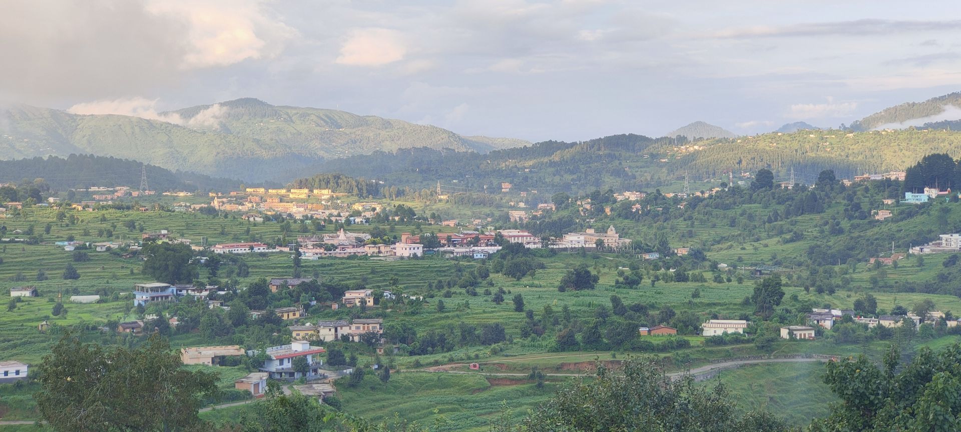
About Champawat
Champawat district is a district of Uttarakhand state in northern India. The town of Champawat is the administrative headquarters. The district is divided into five tehsils: Barakot, Lohaghat, Pati, Purnagiri, and Champawat. There are 2 Sub Tehsils: Pulla and Munch. The largest and the main city of the district is Tanakpur.
Champawat district is part of the eastern Kumaon division of Uttarakhand. It is bounded on the north by Pithoragarh district, on the east by Nepal, on the south by Udham Singh Nagar district, on the west by Nainital district, and on the northwest by Almora district.
As of 2011 it is the second least populous of the 13 districts of Uttarakhand, after Rudraprayag.
Champawat district is part of the eastern Kumaon division of Uttarakhand. It is bounded on the north by Pithoragarh district, on the east by Nepal, on the south by Udham Singh Nagar district, on the west by Nainital district, and on the northwest by Almora district.
As of 2011 it is the second least populous of the 13 districts of Uttarakhand, after Rudraprayag.
Quick Facts
Headquarters
Champawat
Division
Kumaon
Area
1,766 sq km
Population
259,648 (2011)
Elevation
1,615 m
Literacy Rate
79.83%
Languages
Hindi, Kumaoni
Best Time to Visit
March - June, September - November
Official Website
Visit Website →
Explore
Cities in Champawat
Discover the cities and towns of this district


Stay
Hotels in Champawat
Best places to stay in this district
Location
Latitude:
29.3358000
Longitude:
80.0900000