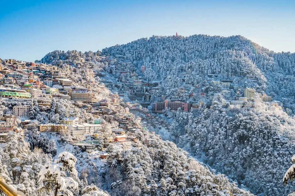
About Gun Hill
Reviews & Ratings
No reviews yet
Be the first to share your experience!
Login to write a review and share your experience.
Nearby Attractions
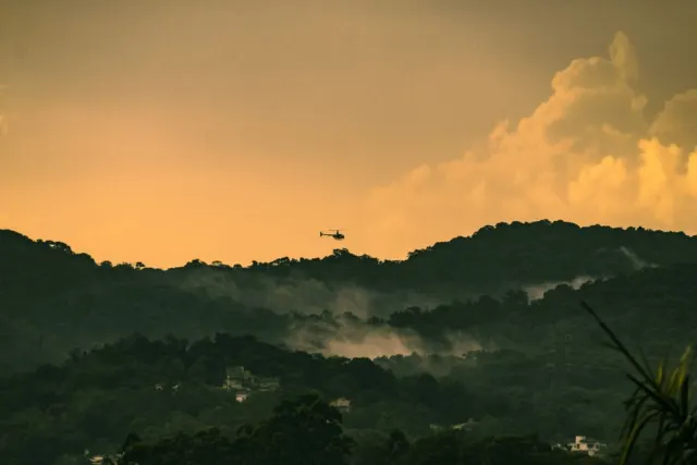
Mall Road Mussoorie
Mussoorie
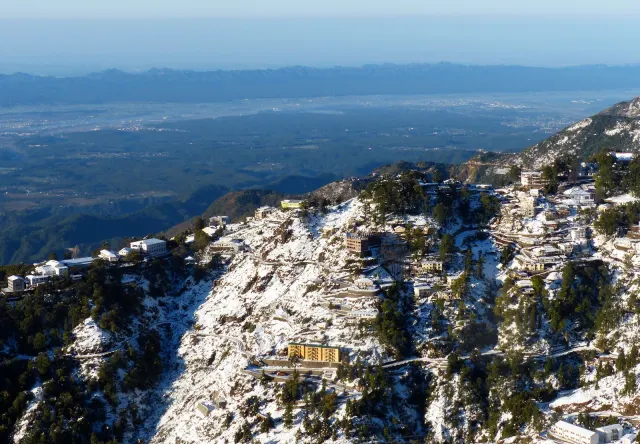
Bhatta Falls
Mussoorie
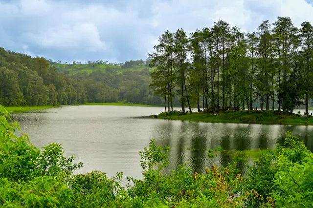
Mussoorie Lake
Mussoorie
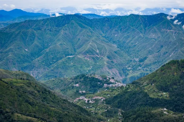
George Everest House
Mussoorie
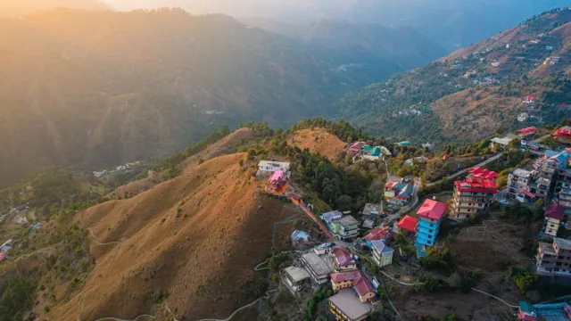
Lal Tibba
Mussoorie
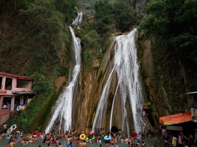
Kempty Falls
Mussoorie
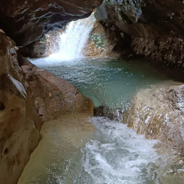
Robber's Cave
Dehradun
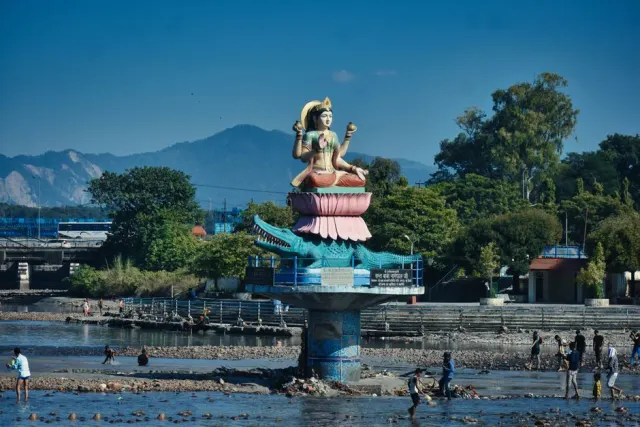
Sahastradhara
Dehradun
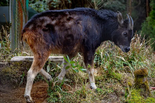
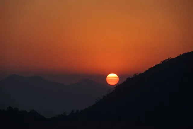
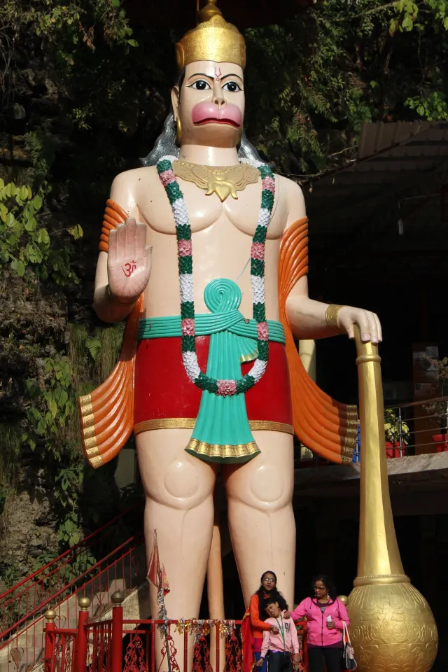
Tapkeshwar Temple
Dehradun
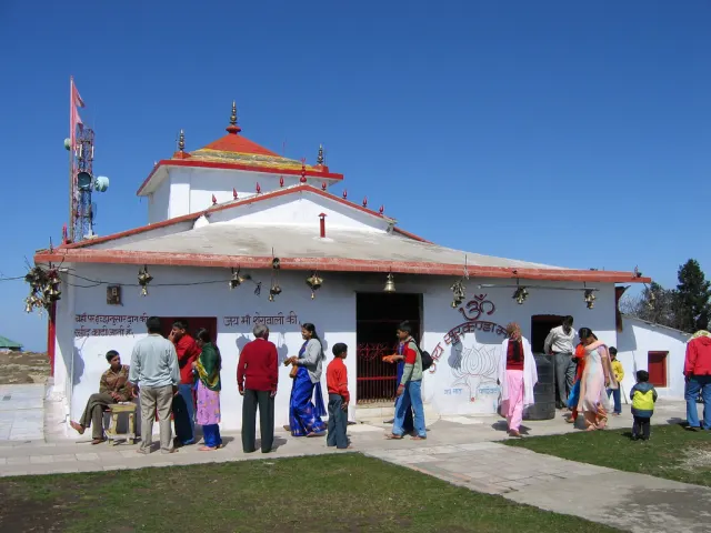
Surkanda Devi Temple
Dhanaulti
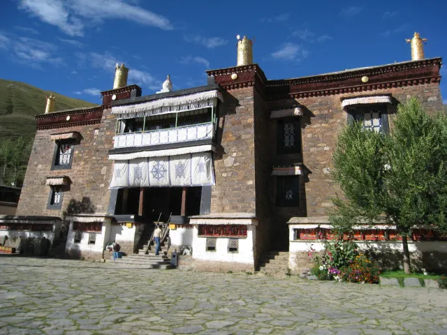
Mindrolling Monastery
Dehradun
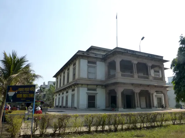
Bharat Mandir
Rishikesh
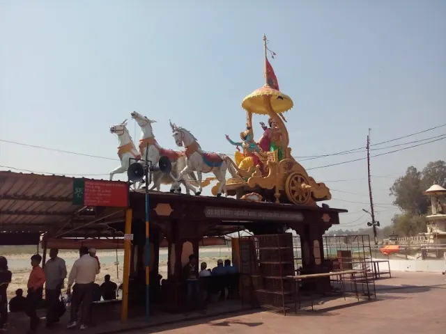
Triveni Ghat
Rishikesh
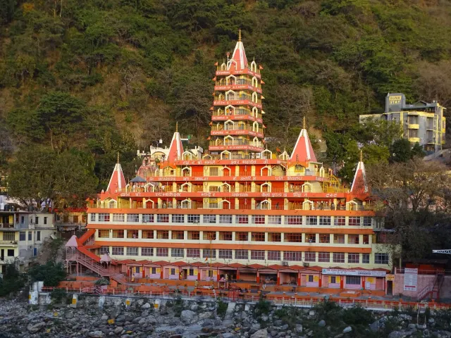
Laxman Jhula
Rishikesh
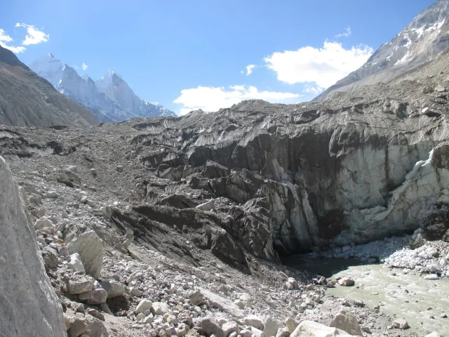
Vishwanath Temple Uttarkashi
Uttarkashi
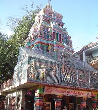
Neelkanth Mahadev Temple
Rishikesh
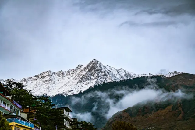
Landour Heritage Home
Mussoorie
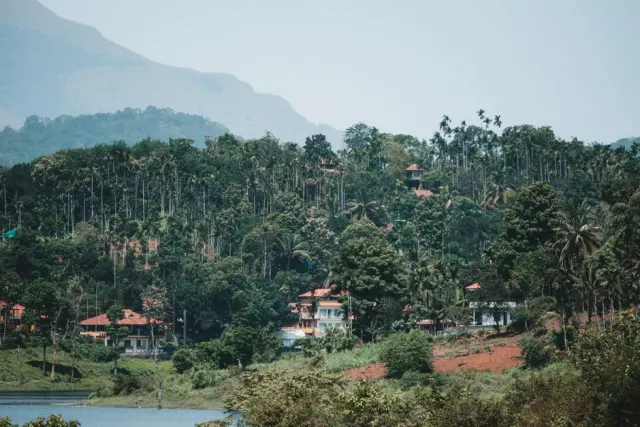
Kempty Valley Homestay
Mussoorie
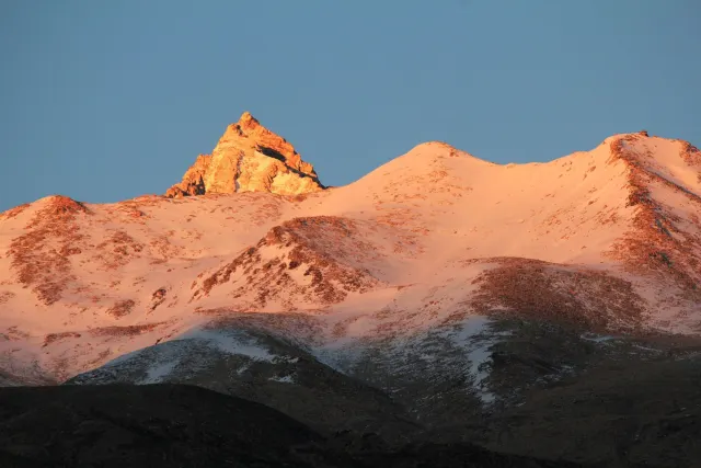
Cloud End Homestay
Mussoorie
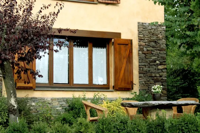
Sahastradhara Road Homestay
Dehradun
Himalayan Hearth Homestay
Dehradun
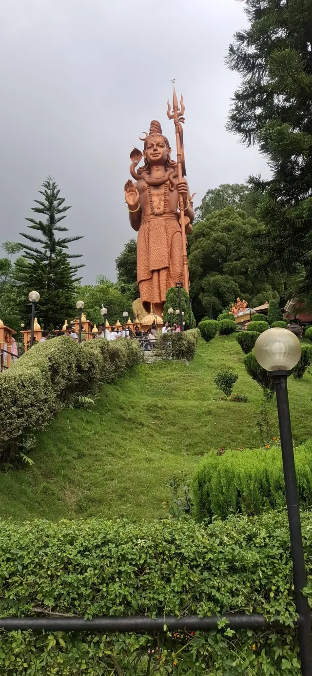
Pine Ridge Homestay
Dhanaulti
Doon Valley Cottage
Dehradun
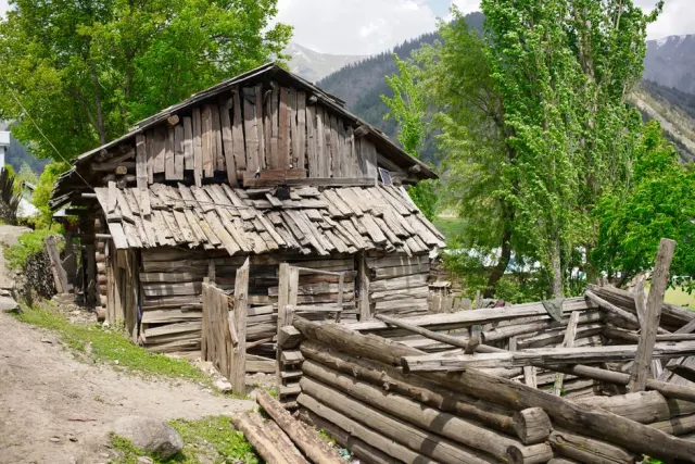
Apple Orchard Homestay
Kanatal