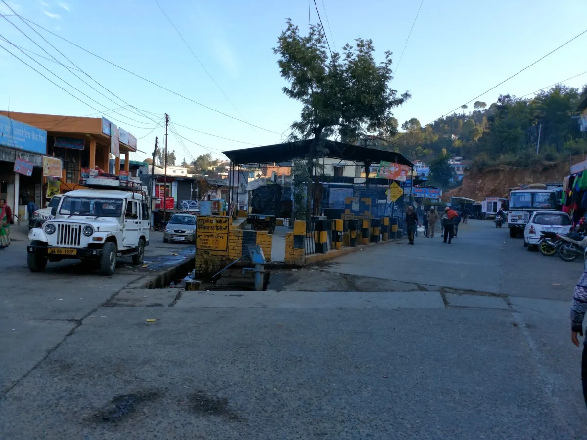
Berinag
Altitude: 1,900m
Altitude
1,900m
Best Time
April to June, September to November
Nearest Airport
Pantnagar Airport (250 km)
Nearest Railway
Kathgodam Railway Station (220 km)
About Berinag
Berinag is a hill station and municipality, located 124 km from Pithoragarh city in the Pithoragarh district, which is the easternmost Himalayan district in the state of Uttarakhand, India. It is one of the six Administrative Subdivisions (tehsil) of Pithoragarh district. National Highway 309A passes through Berinag. Closest prominent villages include Garawon, Dhanoli, Bana, Bhattigaon, Bangali, Quarali, Tripuradevi and Sangarh.
Berinag gets its name from the Berinag Temple (called as ‘Bedinag’ locally), which is a Nāg Devta Temple situated at the top of Berinag Hill. Berinag is among the many temples devoted to Nāgas namely Dhaulinag (Dhavalnag), Kalinag (Kaliyanag), Feninag (Faninag), Bashukinag (Vasukinag), Pinglenag and Harinag. Berinag offers a panoramic view of the Greater Himalayas, from Garhwal Himalayas to the Nepal ranges, especially lofty peaks like Panchachuli and Nanda Devi. The region is famous for tea estates developed during the British rule.
No places added yet for this city.
Places will appear here once added.
No treks added yet for this city.
No temples added yet for this city.