Kumaon Division
Pithoragarh
Headquarters: Pithoragarh
7
Cities
3
Places
4
Treks
1
Temples
About
About Pithoragarh
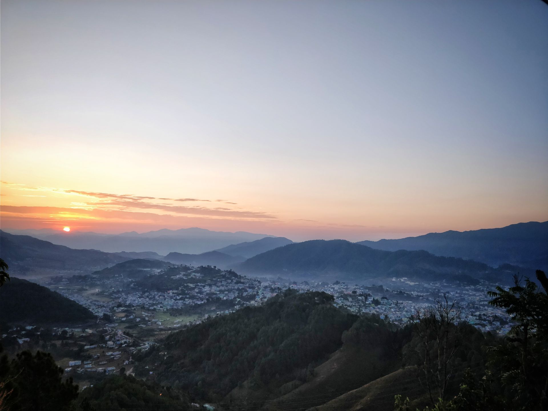
Pithoragarh district is the easternmost district in the state of Uttarakhand. It is located in the Himalayas and has an area of 7,110 km2 (2,750 sq mi) and a population of 483,439 (as of 2011). The city of Pithoragarh, located in Saur Valley, is its headquarters. The district is within the Kumaon division of Uttarakhand state. The Tibet plateau is situated to the north and Nepal is to the east. The Kali River which originates from the Kalagiri Mountain flows south, forming the eastern border with Nepal. The Hindu pilgrimage route for Mount Kailash-Lake Manasarovar passes through this district via Lipulekh Pass in the greater Himalayas.
The district is administratively divided into six Tehsils: Munsyari; Dharchula; Didihat; Berinag; Gangolihat; and Pithoragarh.
The district is administratively divided into six Tehsils: Munsyari; Dharchula; Didihat; Berinag; Gangolihat; and Pithoragarh.
Quick Facts
Headquarters
Pithoragarh
Division
Kumaon
Area
7,090 sq km
Population
483,439 (2011)
Elevation
1,514 m
Literacy Rate
82.25%
Languages
Hindi, Kumaoni
Best Time to Visit
March - June, September - November
Official Website
Visit Website →
Explore
Cities in Pithoragarh
Discover the cities and towns of this district


Stay
Hotels in Pithoragarh
Best places to stay in this district
Location
Latitude:
29.5829000
Longitude:
80.2182000