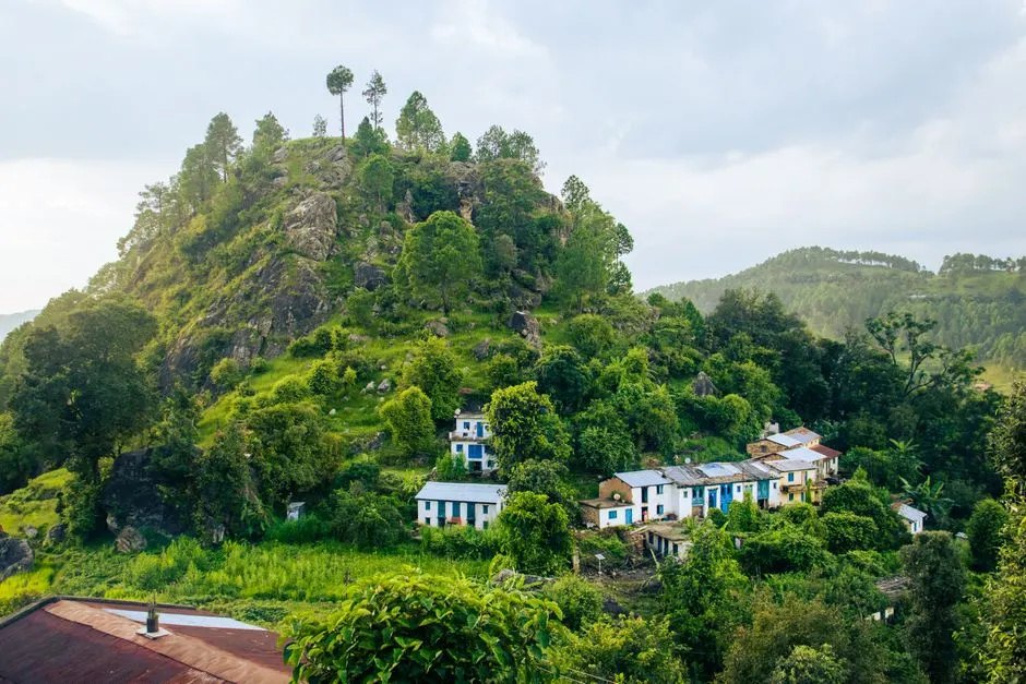
Champawat District
Champawat
Altitude: 1,615m
Altitude
1,615m
Best Time
March to June, September to November
Nearest Airport
Pantnagar Airport (210 km)
Nearest Railway
Tanakpur Railway Station (75 km)
About
About Champawat
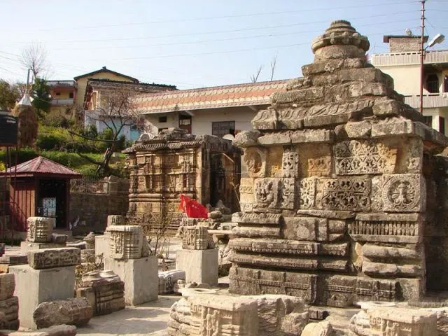
Champawat (Kumaoni: Champāvat) is a town and a Nagar Palika Parishad in Champawat district in the state of Uttarakhand, India. It is the administrative headquarters of Champawat district. The town was the former capital of the Kumaon Kingdom.
No places added yet for this city.
Places will appear here once added.
No treks added yet for this city.

Stay
Hotels in Champawat
Find the best places to stay