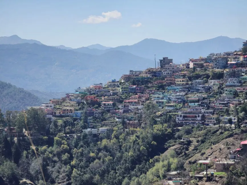
Haridwar
Altitude: 314m
Altitude
314m
Best Time
October to February
Nearest Airport
Jolly Grant Airport (35 km)
Nearest Railway
Haridwar Junction
About Haridwar
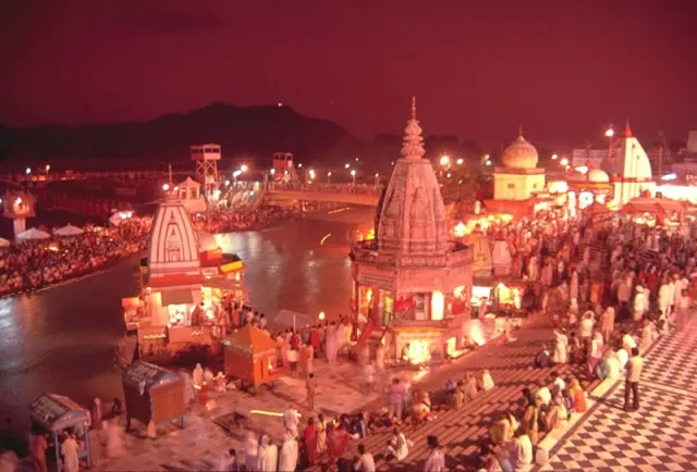
Haridwar (; Hindi: [ɦəɾɪd̪waːɾ] ; formerly Mayapuri) is a city and municipal corporation in the Haridwar district of Uttarakhand, India. With a population of 228,832 according to 2011 census, it is the second-largest city in the state and the largest in the district. Haridwar is located at the south western part of the state.
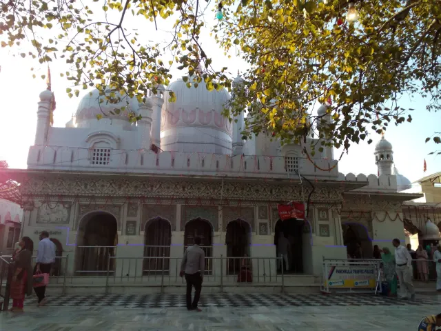
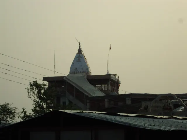
The city is situated on the right bank of the Ganges river, at the foothills of the Shivalik ranges. Haridwar lies in a doab region where people speak Khari Boli, which is a dialect of Hindi. The other districts of doab region lie in Western Uttar Pradesh. Haridwar is regarded as a holy place for Hindus, hosting important religious events and serving as a gateway to several prominent places of worship. The word 'Haridwar' means the gateway to the Lord Hari.
No places added yet for this city.
Places will appear here once added.
No treks added yet for this city.
Hotels in Haridwar
Find the best places to stay