Garhwal Division
Haridwar
Headquarters: Haridwar
6
Cities
0
Places
0
Treks
4
Temples
About
About Haridwar
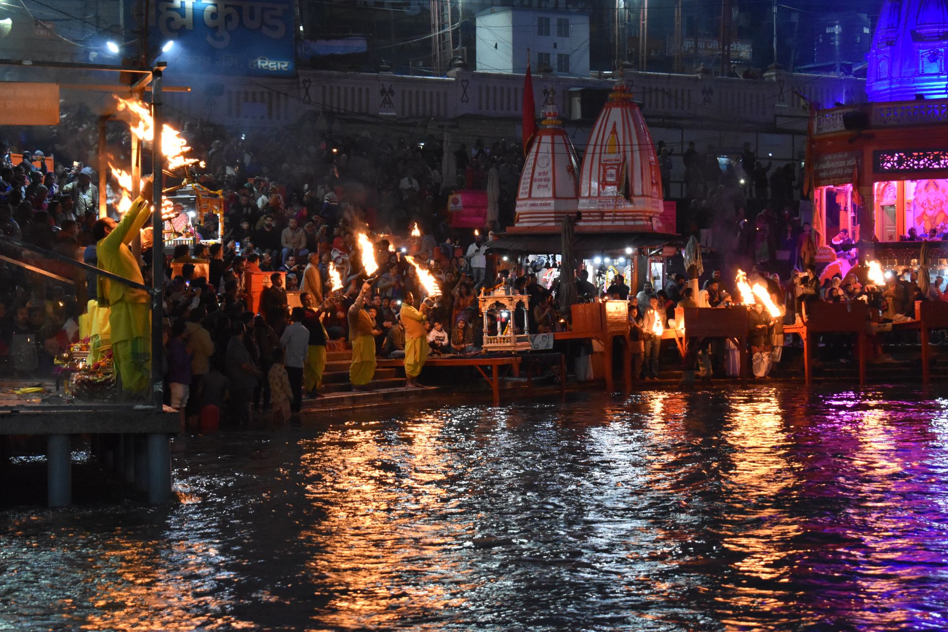
Haridwar district (Hindi: [ɦəɾɪd̪waːɾ] ), also spelled Hardwar, is part of Uttarakhand, India that lies in the Doab region, where people traditionally speak Khariboli. It is headquartered at Haridwar which is also its largest city. The district is ringed by the districts Dehradun in the north and east, Pauri Garhwal in the east and the Uttar Pradesh districts of Muzaffarnagar and Bijnor in the south and Saharanpur in the west.
Haridwar district came into existence on 28 December 1988 as part of Saharanpur Divisional Commissionary, On 24 September 1998 Uttar Pradesh Legislative Assembly passed the 'Uttar Pradesh Reorganisation Bill', 1998', eventually the Parliament also passed the Indian Federal Legislation – 'Uttar Pradesh Reorganisation Act 2000', and thus on 9 November 2000, Haridwar became part of the newly formed Uttarakhand (then Uttaranchal), the 27th state of the Republic of India.
As of 2011 it is the most populous district of Uttarakhand (out of 13). Important towns in the district are Haridwar, BHEL Ranipur, Roorkee, Manglaur, Jhabrera, Laksar, Landhaura, Dhandera, Bhagwanpur, and Bahadrabad.
Haridwar district came into existence on 28 December 1988 as part of Saharanpur Divisional Commissionary, On 24 September 1998 Uttar Pradesh Legislative Assembly passed the 'Uttar Pradesh Reorganisation Bill', 1998', eventually the Parliament also passed the Indian Federal Legislation – 'Uttar Pradesh Reorganisation Act 2000', and thus on 9 November 2000, Haridwar became part of the newly formed Uttarakhand (then Uttaranchal), the 27th state of the Republic of India.
As of 2011 it is the most populous district of Uttarakhand (out of 13). Important towns in the district are Haridwar, BHEL Ranipur, Roorkee, Manglaur, Jhabrera, Laksar, Landhaura, Dhandera, Bhagwanpur, and Bahadrabad.
Quick Facts
Headquarters
Haridwar
Division
Garhwal
Area
2,360 sq km
Population
1,890,422 (2011)
Elevation
314 m
Literacy Rate
73.43%
Languages
Hindi, Garhwali
Best Time to Visit
October - March
Official Website
Visit Website →
Explore
Cities in Haridwar
Discover the cities and towns of this district


Stay
Hotels in Haridwar
Best places to stay in this district
5
Haridwar
Radisson Blu MBD Hotel
₹6,000 - ₹20,000
/night
Wifi
Parking
Restaurant
+6
4
Haridwar
Haveli Hari Ganga
₹4,000 - ₹12,000
/night
Wifi
Restaurant
Ac
+2
3
Haridwar
Hotel Ganga Lahari
₹2,500 - ₹7,000
/night
Wifi
Restaurant
Ac
+2
3
Haridwar
Hotel Aalia
₹1,800 - ₹5,000
/night
Wifi
Parking
Restaurant
+2
Location
Latitude:
29.9457000
Longitude:
78.1642000