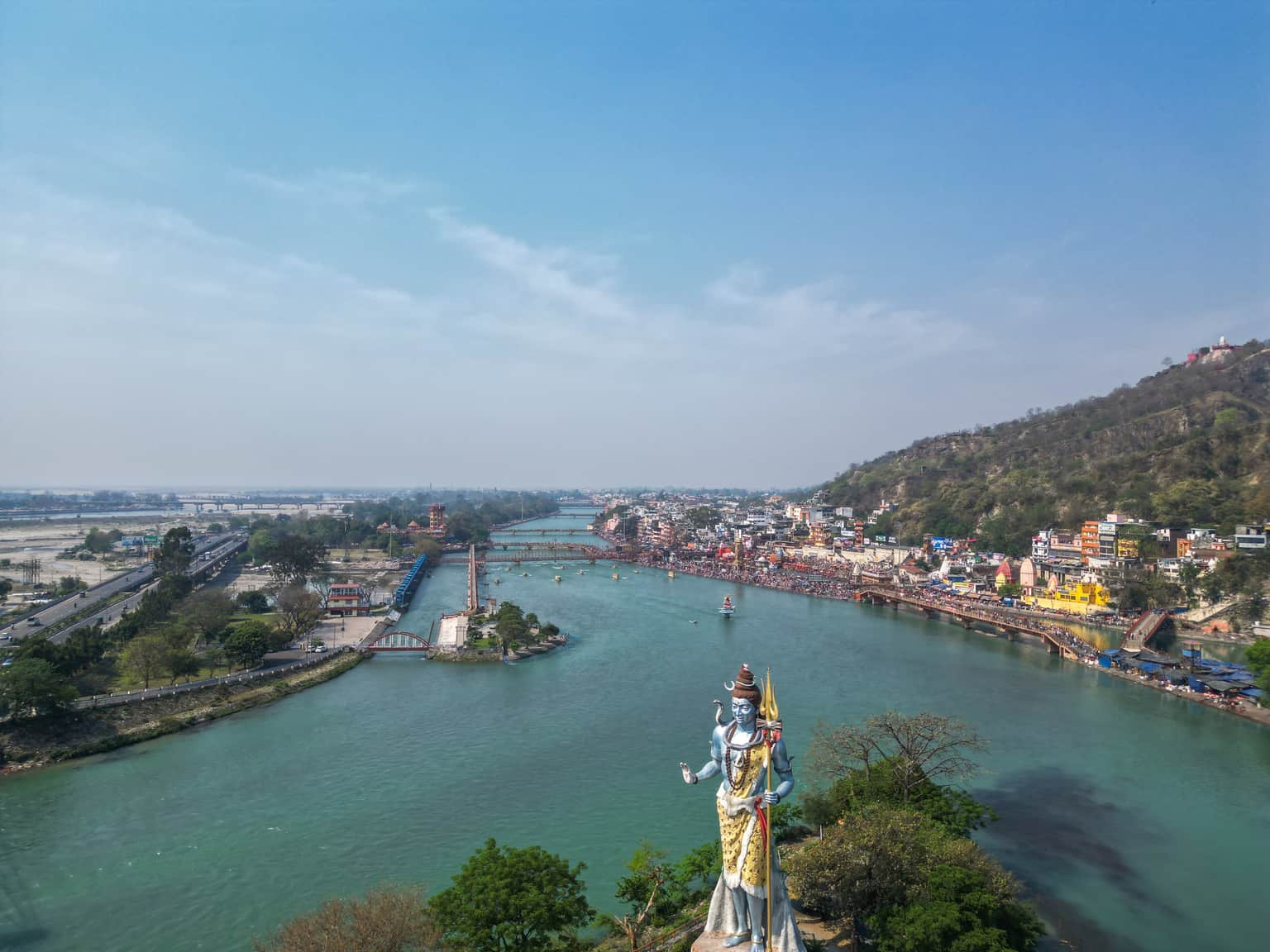
Haridwar District
Manglaur
Altitude: 262m
Altitude
262m
Best Time
October to March
Nearest Airport
Jolly Grant Airport (70 km)
Nearest Railway
Roorkee Railway Station (8 km)
About
About Manglaur
Manglaur is one of the seventy electoral Uttarakhand Legislative Assembly constituencies of Uttarakhand state in India. It includes Manglaur area of Haridwar District.
Manglaur Legislative Assembly constituency is a part of Haridwar (Lok Sabha constituency).
No places added yet for this city.
Places will appear here once added.
No treks added yet for this city.
No temples added yet for this city.