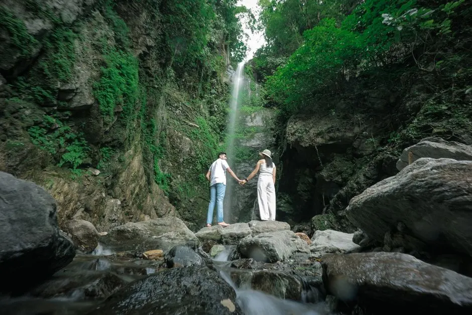
Mussoorie
Altitude: 2,005m
Altitude
2,005m
Best Time
March to June, September to November
Nearest Airport
Jolly Grant Airport (60 km)
Nearest Railway
Dehradun Railway Station (34 km)
About Mussoorie
Mussoorie (Garhwali: [məsuːɾiː]) is a hill station and a municipal board in the Dehradun district of the Indian state of Uttarakhand. It is about 26 kilometres (16 mi) from the state Winter capital Dehradun and 289 km (180 mi) north of the national capital of New Delhi. The hill station is in the foothills of the Garhwal Himalayan range. The adjoining town of Landour, which includes a military cantonment, is considered part of "greater Mussoorie", as are the townships Barlowganj and Jharipani.
Mussoorie is at an average altitude of 2,001 metres (6,565 ft). To the northeast are the Himalayan snow ranges, and to the south, the Doon Valley and Sivalik Hills ranges. The second highest point is the original Lal Tibba in Landour, with a height of over 2,258 m (7,408 ft). Mussoorie is popularly known as The Queen of the Hills.
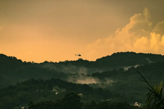
Mall Road Mussoorie
Mussoorie (Garhwali: [məsuːɾiː]) is a hill station and a municipal board in the Dehradun d...
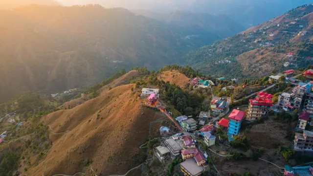
Lal Tibba
Mussoorie (Garhwali: [məsuːɾiː]) is a hill station and a municipal board in the Dehradun d...
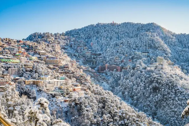
Gun Hill
Mussoorie (Garhwali: [məsuːɾiː]) is a hill station and a municipal board in the Dehradun d...
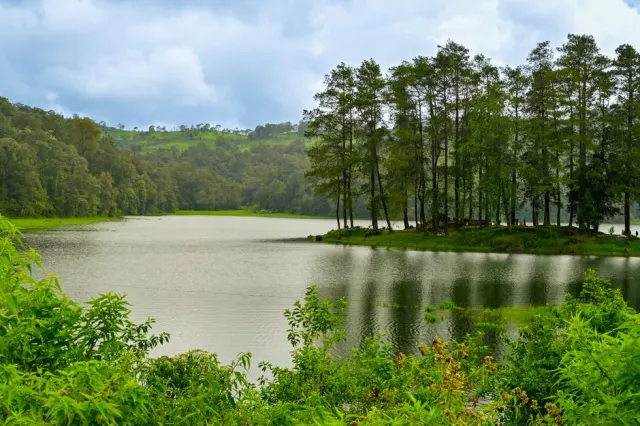
Mussoorie Lake
Mussoorie (Garhwali: [məsuːɾiː]) is a hill station and a municipal board in the Dehradun d...
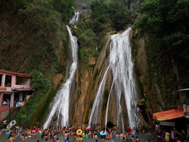
Kempty Falls
Kempty Falls is a waterfall in Ram Gaon and at the south of Kempty, in the Tehri Garhwal D...
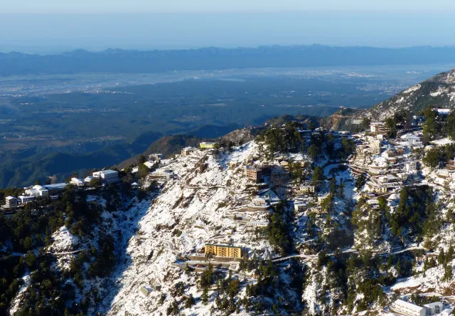
Bhatta Falls
Mussoorie (Garhwali: [məsuːɾiː]) is a hill station and a municipal board in the Dehradun d...
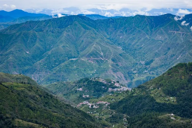
George Everest House
Mussoorie (Garhwali: [məsuːɾiː]) is a hill station and a municipal board in the Dehradun d...
No temples added yet for this city.
Hotels in Mussoorie
Find the best places to stay