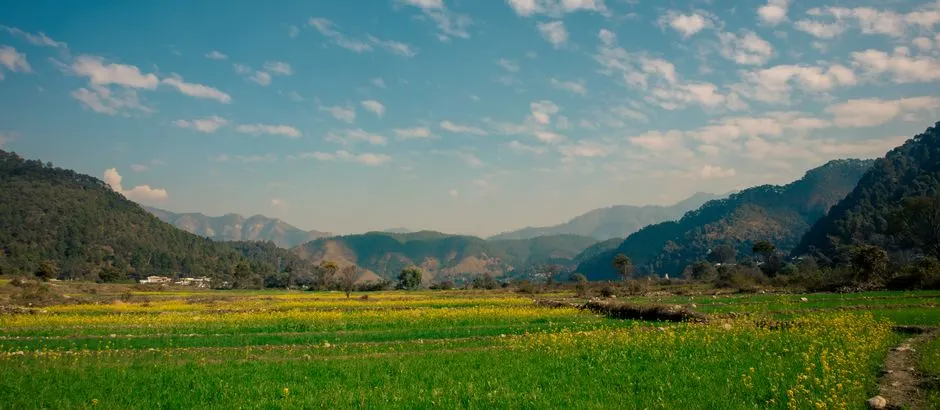
Munsiyari
Altitude: 2,200m
Altitude
2,200m
Best Time
April to June, September to November
Nearest Airport
Pantnagar Airport (295 km)
Nearest Railway
Kathgodam Railway Station (265 km)
About Munsiyari
Munsyari (Kumaoni: Munsyār) is the name of the sub-division headquarters, a municipal board, a conglomeration of revenue villages and it also refers to the entire region as Munsiyari Tehsil and Sub Division in the Pithoragarh District in the hill-state of Uttarakhand, India.
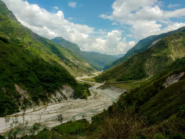
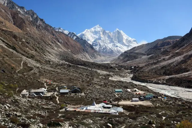
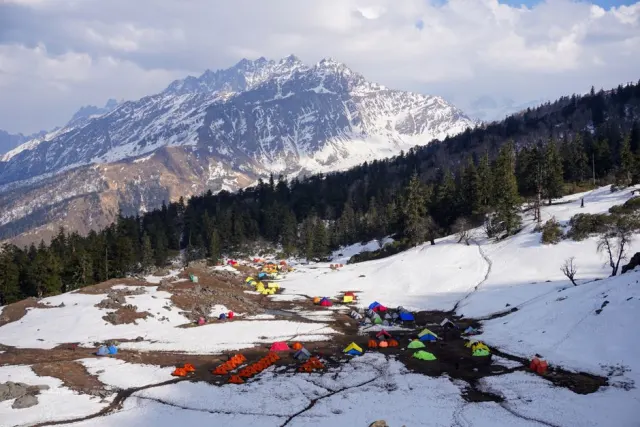
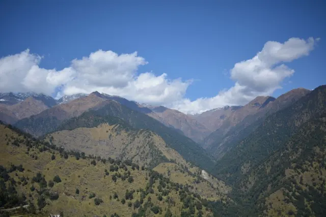
It is a hill station and lies at the base of the great Himalayan mountain range, at an elevation of about 2,200 m (7,200 ft) and is a starting point of various treks into the interior of the range.

No temples added yet for this city.
Hotels in Munsiyari
Find the best places to stay