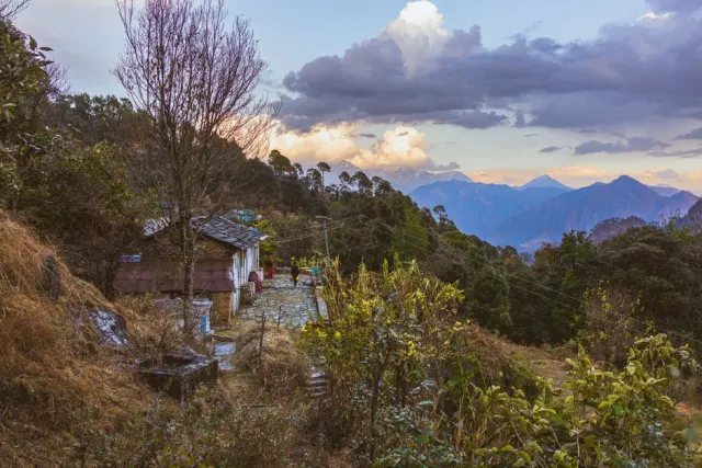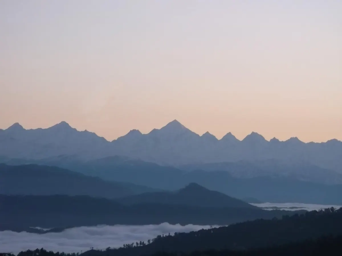
About Khaliya Top
Reviews & Ratings
No reviews yet
Be the first to share your experience!
Login to write a review and share your experience.
Quick Info
- Entry Fee
- Free
- Best Time
- March - June, Oct - Nov
- Altitude
- 3500.00m
- City
- Munsiyari
- District
- Pithoragarh
- Coordinates
- 30.0700000, 80.0600000
Nearby Attractions
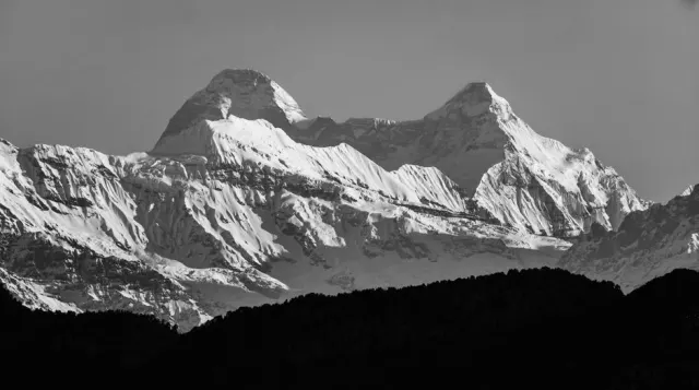
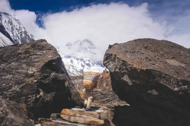
Sunderdhunga Trek
Bageshwar
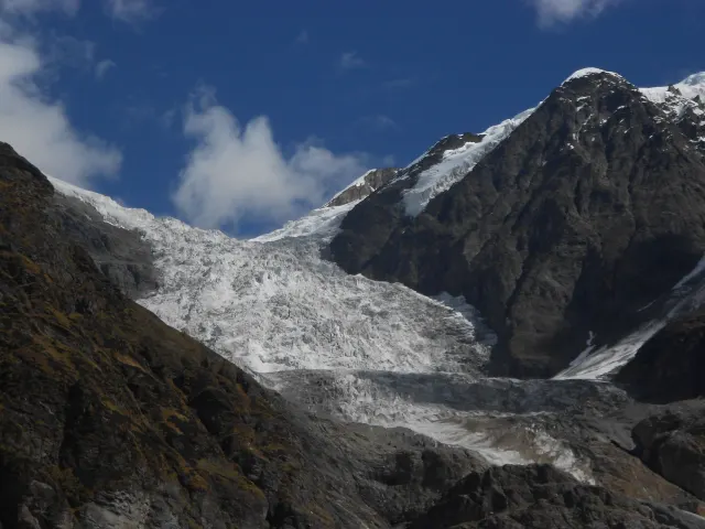
Pindari Glacier Trek
Pindari Glacier
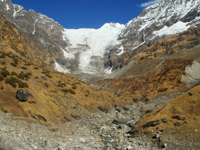
Kafni Glacier Trek
Kapkot
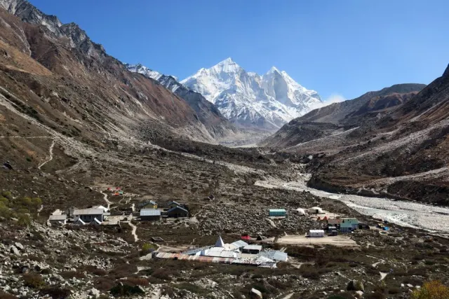
Milam Glacier Trek
Munsiyari
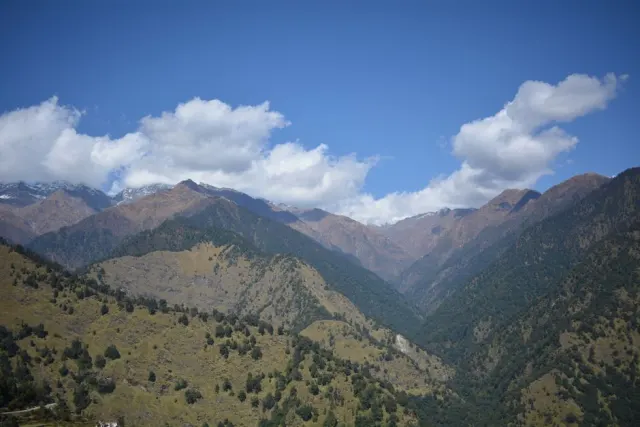
Nanda Devi East Base Camp Trek
Munsiyari
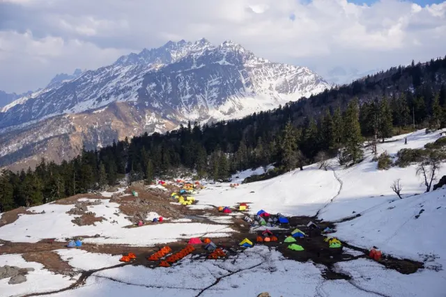
Panchachuli Base Camp Trek
Munsiyari
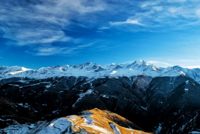
Brahmatal Trek
Gwaldam
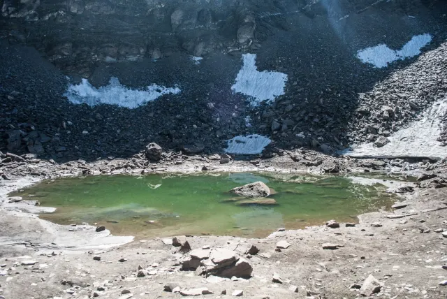
Roopkund Trek
Gwaldam